
Mundelein ZIP Coverage at a Glance
The verified core of the Mundelein ZIP code directory is 60060. Census place results also show ZCTA 60048 and ZCTA 60061 intersecting the village. A ZCTA is a statistical shape, not a USPS delivery rule. Nearby Lake County codes belong in a comparison check only when the exact address or official parcel record returns them.
| ZIP | Areas covered | Post office | Mundelein note |
|---|---|---|---|
| 60060 | Primary Mundelein postal city | Mundelein, 435 E Hawley Street | Verified primary code; check ZIP+4 by address |
| 60048 | ZCTA overlaps the village place | Libertyville area | Overlap does not place every address in Mundelein |
| 60061 | ZCTA overlaps the village place | Vernon Hills area | Verify each delivery address |
| 60030 | Nearby border geography | Grayslake | Not established as village-wide service |
| 60047 | Adjacent postal geography | Lake Zurich area | Comparison only |
| 60073 / 60084 | Nearby Lake County areas | Round Lake / Wauconda | Not proof of Mundelein service |
No unattended official result produced a complete street-by-street list of every code serving Mundelein proper. That gap makes exact-address verification essential.
Verify a Mundelein ZIP with USPS
The USPS ZIP Code Lookup is the delivery authority. City-and-state mode helps discover the main code, but address mode is better near a boundary. Enter the full delivery address and retain the returned ZIP+4 rather than recoding an address from a map color.
| Field | Type | Required | Use |
|---|---|---|---|
| Street Address | Text | Address mode | Exact delivery location |
| City | Text | City/state mode | Enter Mundelein |
| State | Dropdown | Yes | Select Illinois |
| ZIP Code | Text | Alternate mode | Check a known code |
| Find/Search | Button | No | Returns the dynamic result |
The USPS screen could not be fully queried during unattended research, but the lookup route and Mundelein Post Office at 435 E Hawley Street, Mundelein, IL 60060-2469 were independently identified.
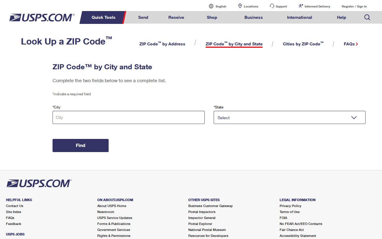
The captured form shows why the exact address, city, and state should be entered before relying on a ZIP result.
Mundelein ZIP Codes Versus ZCTAs
The Census Bureau's ZCTA guidance explains that ZIP Code Tabulation Areas generalize postal delivery geography for statistics. They can cross village limits. They do not replace a live USPS ZIP+4 result.
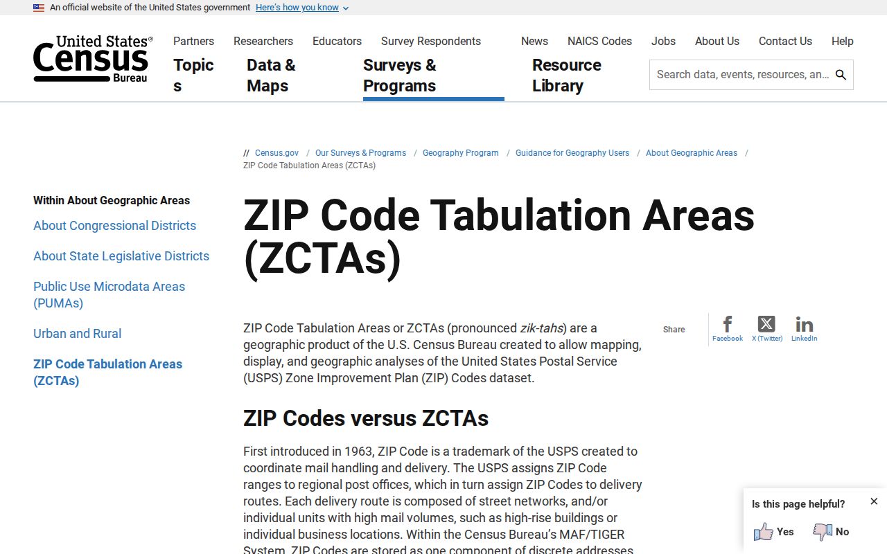
The Census explanation supports using 60048 and 60061 as overlap clues, not as proof that each address belongs to Mundelein.
This distinction prevents a common error. A resident count for a whole ZCTA should not be labeled as the population of the village. Likewise, a parcel inside Mundelein may carry a neighboring postal city because USPS routes mail rather than drawing municipal borders.
Mundelein Addresses Have Many Layers
One Mundelein parcel can have a Village boundary, Fremont Township label, Lake County PIN, postal city and ZIP, taxing districts, and a legal subdivision description. Each answers a different question. County GIS Mapping assigns PINs and addresses in unincorporated areas and in municipalities that ask for service. Village Planning and Engineering holds annexation and development context.
- ZIP code
- A USPS delivery code used to route mail.
- ZIP+4
- An added four digits that narrow a delivery segment.
- ZCTA
- A Census statistical area modeled from ZIP geography.
- Carrier route
- A postal delivery path, not a municipal boundary.
- Unique or PO-box ZIP
- A code assigned to one large recipient or post-office boxes; none was verified as a separate Mundelein code.
A Lake County PIN is a ten-character parcel identifier entered without dashes in the assessor search. It is not a house number. Legal descriptions may use lot, block, subdivision, section, township, range, or “part of” language. Keep those strings alongside the street address when sources conflict.
Mundelein Parcel ZIP Filters
The Lake County basic property search includes a ZIP field and a City Name choice that includes MUNDELEIN. Its guidance favors one principal search parameter. The advanced assessor search offers ZIP Code as a criteria option. These are tax-search filters, not USPS boundary definitions.
| Portal | ZIP input | What it does | Limit |
|---|---|---|---|
| Assessor Basic | ZIP text; City Name | Filters parcel cards | Tax geography differs from postal limits |
| Assessor Advanced | ZIP criterion | Builds a parcel query | Current tax-cycle output |
| GIS geocoder | Address/ZIP line | Finds mapped places | Not a ZIP-wide resident list |
| I-CASH | Optional ZIP | Narrows unclaimed property | Not residence proof |
| Voter data form | No ZIP filter | Uses districts and election dates | Restricted qualifying requests |
A parcel result may show situs address, municipality, ZIP, taxpayer name, and a mailing address elsewhere. Taxpayer, owner, occupant, and resident are not interchangeable. A real GIS example paired a Mundelein situs and ZIP with a Chicago taxpayer mailing address, showing why the fields must remain separate.
Map Mundelein Postal Differences
The Lake County Tax Parcel Viewer can geocode an address and show parcel, subdivision, road, district, and boundary layers. Its output schema can include Postal and PostalExt along with City, neighborhood, region, and address parts. Output fields are not all search inputs, and map labels should be checked against the assessor card.
The March 2026 rebuild makes the portal current but also means old instructions may name different tools. The map is for general reference. It is not an engineering survey or legal boundary finding. When a line matters, use the recorded plat or instrument and a licensed surveyor where needed.
Mapped subdivision names containing Mundelein include Mundelein Gardens, Mundelein Heights, Mundelein Manor, Mundelein Meadows, Mundelein Station, and several commercial or condominium labels. A subdivision label is not proof of a postal city, a homeowners association, or who lives there.
Old Mundelein Addresses Before ZIPs
Historic city directories did not use modern ZIP filtering. Start with locality and street guide, then compare the old road form with the 1886 Holcomb plat, 1925 plans, later zoning maps, the 2020 annexation map, and current GIS. Mundelein's former names, Mechanics Grove, Holcomb, Rockefeller, and Area, can also explain a mismatch.
Cook Memorial's house-history research notes that house numbers began appearing in regional telephone books in the 1920s, while rural and farm homes often lacked numbers. No official village-wide street-renumbering chronology was found. If an address changes, do not invent a renumbering date. Compare maps, recorded plats, legal descriptions, and Village Planning records.
Once a ZIP search narrows to a specific road, the Mundelein street directory handles the address, parcel, and deed trail in full.
Audit a Mundelein ZIP Search
A ZIP code directory is most useful as a narrowing tool. It cannot establish every occupant within a broad delivery area. Preserve each agency's label so later searches do not silently turn postal geography into village residency.
- Enter the full address in USPS lookup and save the ZIP+4 result.
- Search the assessor by address or PIN. Record ZIP, situs city, municipality, township, and mailing address separately.
- Open the GIS parcel and inspect Village, subdivision, road, and district layers.
- For an old address, compare street guides, telephone books, and the historic map stack.
- Use the Recorder's legal description or plat, then request Village records under Illinois FOIA when assignment or annexation is still unclear.
Nearby ZIPs 60030, 60047, 60073, and 60084 should remain prompts for exact-address checks. They are not a basis for expanding Mundelein's resident roll. The cleanest result states which source supplied each geographic label and the date it was checked.