
Mundelein Neighbors by Source
Public sources describe separate parts of a Mundelein block. The map establishes parcel geometry. The tax roll identifies a taxpayer and mailing destination. A recorded deed establishes a transfer involving the legal parcel. Voter inspection is controlled by Illinois law, and no official citywide HOA roster was found.
| Source | What It Shows About a Block | Access |
|---|---|---|
| Tax Parcel Viewer | Parcels, roads, lots, addresses, subdivisions, districts | Public map; click and select |
| Assessor search | Owner, situs, mailing address, PIN, sale fields | Free individual search |
| Deeds and plats | Owners, transfers, lot and block, easements, rights of way | 1980+ index; office books earlier |
| Voter records | Registration address, status, precinct, history fields | Lawful inspection; electronic data restricted |
| Village records | Permit, project, certificate, hearing dates | BS&A, department, or FOIA |
| Historic street guides | Names at a street number in a covered year | Library and 1949/1951 images |
None is a census of everyone on the block. An owner may live elsewhere. A mailing address may belong to a trustee or office. A person living there may not own the parcel or appear in a public voter record.
Map Mundelein Neighbor Parcels
The Lake County Tax Parcel Viewer can geocode an address and display nearby parcel polygons. Confirm the target with its PIN and situs before moving outward. Turn on Tax Parcels, Parcel Points, Road Centerline, Address Labels, Lots, Subdivisions and Condominiums. Historic tax-map and right-of-way layers can help when the layout is unclear.
- Enter the exact address and click the target parcel.
- Record its PIN, situs, subdivision, and mapped boundaries.
- Click each parcel sharing a boundary, then those across the street.
- Save every nearby PIN and query it in the assessor search.
- Compare taxpayer, mailing city, legal description, sale document, and district fields.
A rectangle or polygon can select a block. The configured buffer control does not guarantee a radius search, so a fixed-distance list should not be promised. The map is for general reference, not a legal survey.
Block process: target address → mapped parcel → touching polygons → verified PINs → assessor records → recorded deeds.
Verify Mundelein Parcel Names
Query each adjacent PIN through the Lake County property search. Keep situs and taxpayer mailing in separate columns. Situs means the parcel's physical location. The mailing field is where tax notices go and may show another city, a business, a care-of name, a bank, or a trustee.
- PIN
- The parcel identification number assigned to a mapped tax parcel.
- Situs address
- The physical location attached to the parcel record.
- Taxpayer address
- The destination for tax mail, which may not be the parcel.
- Plat
- A recorded map dividing land into lots, blocks, streets, and easements.
A real Lake County GIS feature can carry a Mundelein situs and municipality while showing a Chicago taxpayer mailing address and a farm-site neighborhood label. That is not an error by itself. It shows why Mundelein neighbors cannot be identified from one field.
Mundelein Block Deeds and Plats
Use each PIN and legal description in the Lake County Official Records Search. The regular online index begins in 1980. Earlier documents reach back to 1844 through handwritten grantor/grantee Online Index Books, file-number lookup, public terminals, and copy help by mail, phone, or email.
A deed can confirm the grantor, grantee, date, document number, and legal description. A plat can show a shared subdivision, lot and block pattern, easement, or right of way. Mortgage, lien, and release records give context but do not prove who occupies a property today.
For the complete record chain along one road, use the Mundelein street directory. The neighbor method stays with the lots immediately around one address.
Note: Match legal descriptions as well as names because nearby owners can share a surname and old deeds may omit a street address.
Mundelein Subdivisions, Not Rosters
The Village's 2020 subdivision map is the strongest official geographic inventory found. It labels Town & Country Homes, Cambridge Country units, Hawthorne Hills Estates, Countryside, Cardinal Terrace, Loch Lomond, The Woodlands, Sheldon Woods, Ivanhoe, Orchard Meadows, Diamond Pointe, Harbor Pointe, North Hills, and many other plats.
These are geographic names, not proof that an HOA exists or that a person belongs to it. Village development pages identify Walnut Ridge, Ivanhoe Development, Springs of Mundelein, and Towns at Oak Creek by location and taxing bodies, but publish no household directory. Ask Village Planning for a current civic-contact referral rather than guessing an association.
| Public Community Route | What It Actually Offers |
|---|---|
| Subdivision map | Official plat and development geography |
| Development updates | Project location, status, and taxing-body context |
| Historical Commission | Public member names, agendas, minutes, and referrals |
| Fremont Public Library | Local history, obituaries, directories, and research help |
| Genealogical Society | Obituary index and volunteer copy assistance |
Mundelein Neighbors in Voter Records
Lake County Voter Power is meant for a registered voter's own status, ballot, polling place, districts, and vote-by-mail details. For broader research, registration cards may be inspected under 10 ILCS 5/4-8, except during the set period before an election unless access is approved.
Electronic voter files are restricted to qualifying political committees and governmental entities. Registration can include a name, residence, mailing address, precinct, districts, status, date, and voting-history fields. Voting history shows participation, never ballot choices, and Illinois has no permanent party registration.
Address Confidentiality Program records and other protected details remain withheld. A blank result does not prove that a neighboring parcel is vacant or that no registered person lives there.
Mundelein Block Activity Records
The Mundelein BS&A hub offers address-based routes for building and business records. A permit can show an applicant, contractor, project, or certificate date. A code or hearing record can show an allegation and process date. Neither establishes who lives at an address.
The official municipal screen identifies the available record categories:
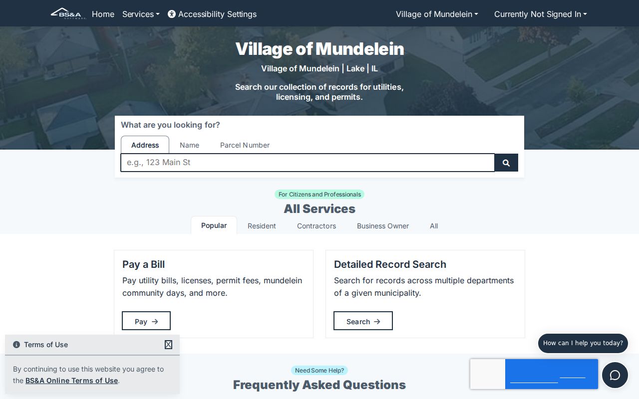
The captured hub is a starting point. Older or missing records should go to the responsible department because the full online year span is not posted.
If a record is not indexed, the Village FOIA page provides the request route, deadlines, and officers.
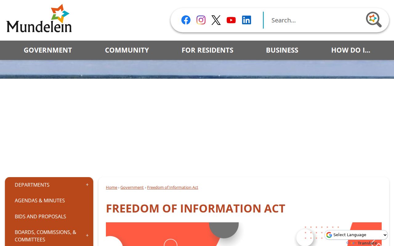
The request page is the official fallback for a narrow address, permit, hearing, or date range.
Mundelein Community Record Contacts
The Mundelein Historical Commission is an official civic body, not a neighborhood association. Public agendas and minutes can document map work, preservation, and named properties. Fremont Public Library and the Lake County Genealogical Society offer historical sources and public research contacts without disclosing patron or private membership information.
Mundelein Historical Commission
Agendas, minutes, and commission details
Meets the first Wednesday at 9 a.m.
Fremont Public Library
Local-history room and obituary help
Township records, newspapers, yearbooks, and census sources
Lake County Research Centers
Countywide research-center directory
Library, archive, and historical collection referrals
Use these contacts to understand a neighborhood's past. Do not infer group membership from attendance at a public meeting or event.
Official Mundelein Neighbor Records
Official rolls are narrow, but each has a named custodian, a defined field, and a correction route. Commercial neighbor tools blend parcel, directory, and marketing data. Their profiles may be stale or merge people with similar names.
| Method | Strength | Limit |
|---|---|---|
| GIS and assessor | Current parcel and tax fields | Does not list every occupant |
| Recorder | Dated deeds and plats | Ownership is not current residence |
| Voter inspection | Official civic fields | Restricted use and protected addresses |
| Commercial compilation | Fast combined profile | Stale data and merged identities |
Prefer the primary Lake County and Village source. If it is wrong, contact its keeper. A commercial opt-out usually requires the provider's privacy route, exact profile, saved confirmation, and a later recheck.
Mundelein Neighbor Privacy Limits
A parcel map cannot reveal every household member, utility customer, delivery recipient, or non-owner occupant. Illinois law restricts driver and vehicle personal information. Vital records, juvenile matters, sealed files, and protected voter addresses also sit outside a public neighbor lookup.
The Illinois Attorney General Address Confidentiality Program supplies eligible survivors and household members with a substitute address and mail forwarding at no cost. Enrollment normally lasts four years and may be renewed. It does not erase old records, so care is still required with dated sources.
The Village's transparency and security notices are a timely reason to date sources and minimize personal details.
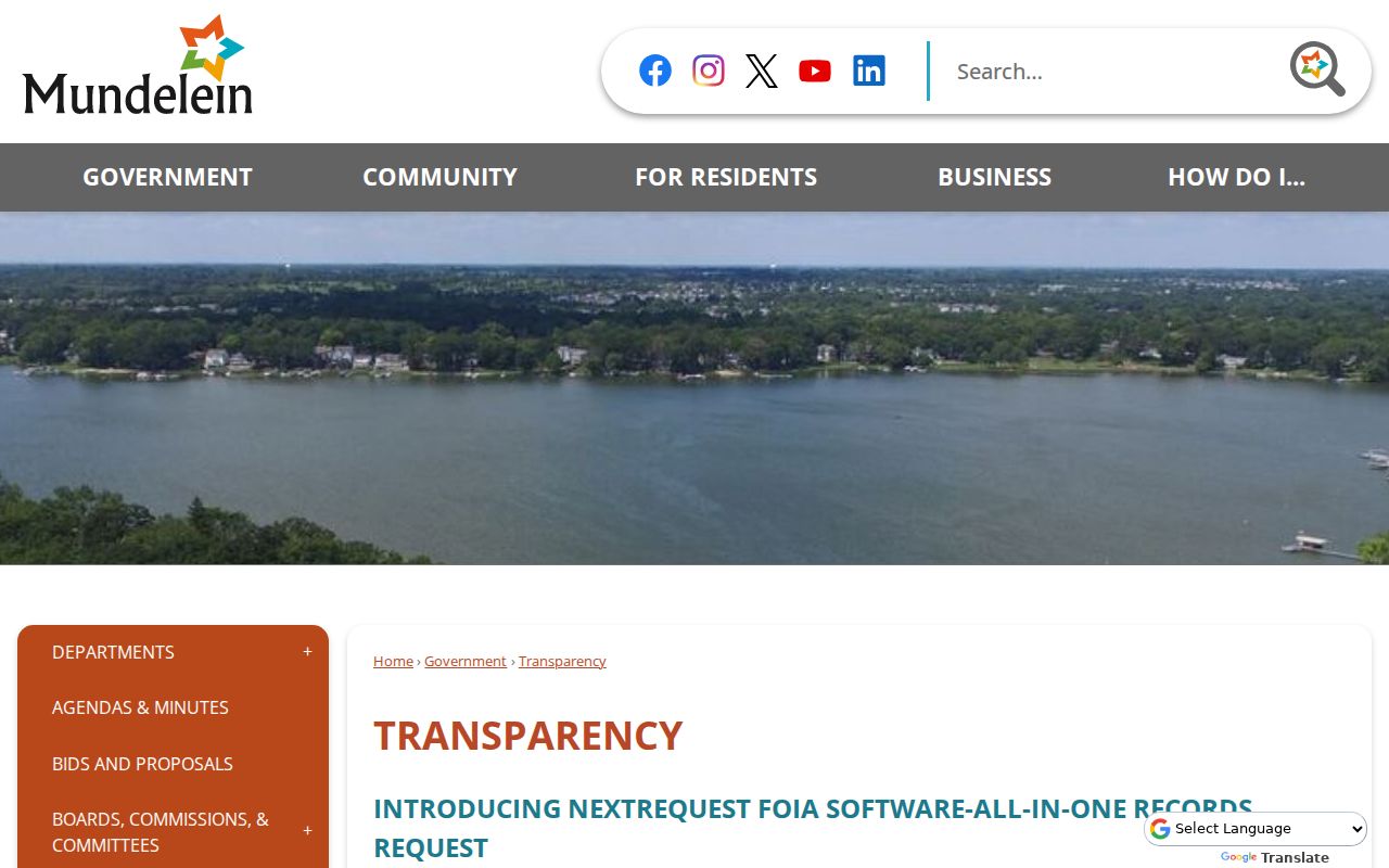
The notice connects public access with data-security awareness whenever block research gathers several records in one place.
For police report categories, use the Mundelein Police Records Unit.
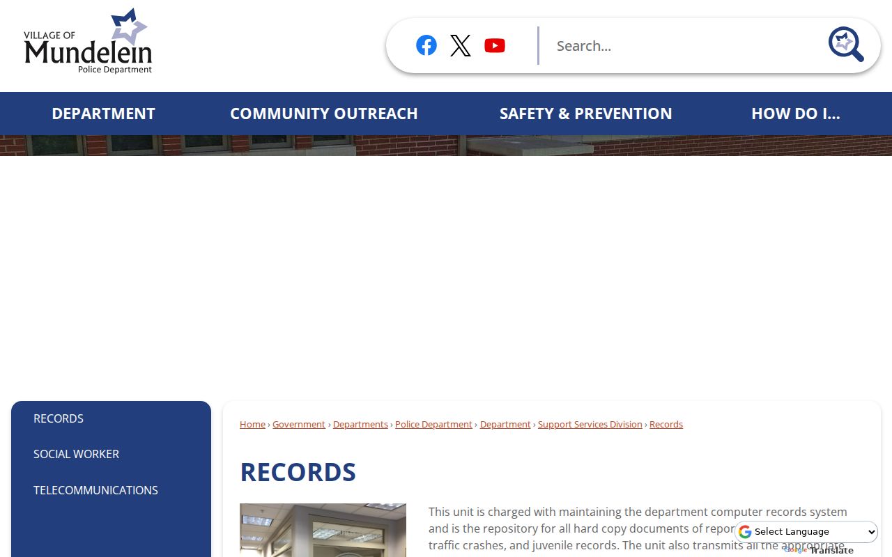
The page identifies the proper custodian, while exemptions still control what can be released.
Lawful use. Use block records for civic curiosity, family research, or personal safety. Never use them for unwanted surveillance, contact, threats, or harassment.